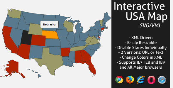
Features
- XML Driven – Provinces in alphabetical order
- Resizable map, you can change the size of the map directly in the XML file.
- Change all colors in XML .
- 2 versions included, navigate to URL or display text when state is clicked.
- Optional text area size and padding in XML .
- Activate/Deactivate each state independently.
- Full documentation included.
Credits
Featured on CodeCanyon

More Files by LGLab


Categories


